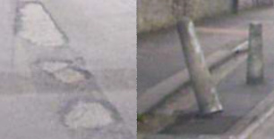
Kevin Wells is adding multi-language support to his StreetFix application, which can be used to report and check up on local issues, such as potholes, broken bollards, street lights not working, and so on.
Read MoreCategory: Uncategorized
News bit: Zimbabwe map now available to use with RiscOSM
Bernard Veasey has made available another vector map, complete with contour data, for use with RiscOSM, this time of Zimbabwe.
Read MoreNews bit: Find your way with some free maps
Unknown to RISCOSitory before now, it appears Bernard Boase Veasey has some vector maps (with contour data) available to download for use in RiscOSM. The maps cover Ecuador, Uganda, Rwanda, Burundi, Malawi, Kenya, Zambia, and Israel, and have just been updated with optimisations for use with the style sheet features in the latest versions of the mapping application from Sine Nomine
Read More

